Stories from the Wild

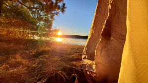
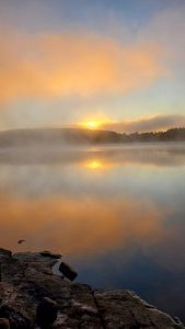
Quetico is world renowned for back country paddling opportunities. With over 2000 pristine lakes and 460,000 ha of remote wilderness it is easy to understand why it’s a paddler’s haven.

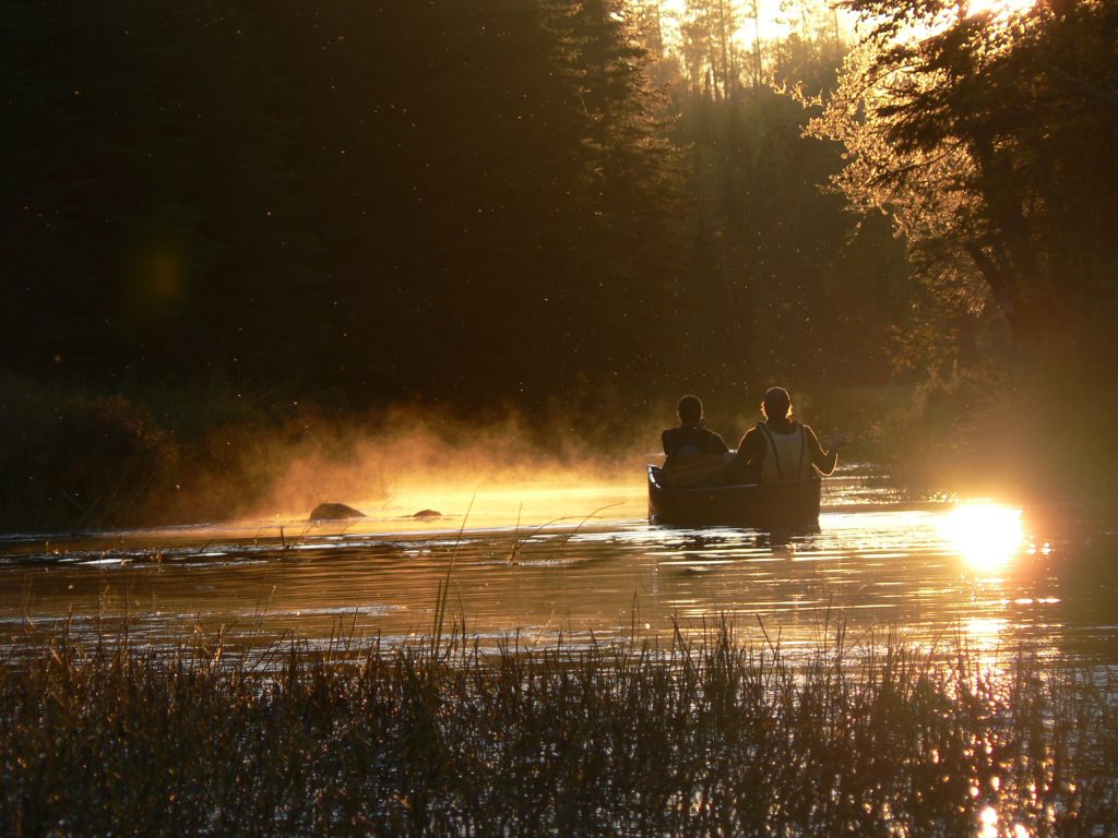
The paddling season is just around the corner and it’s never too early to start planning your trip into the back country. Accessing the vast wilderness of Quetico from the North end of the Park can offer more solitude, allow for more campsite options and give you the opportunity to fish lakes with very little or no angling pressure.

To make the most of your paddling journey into Quetico, here’s a breakdown of some Northern entry points, the applicable ranger station, and potential routes:

Note that there are many different routes and the ones listed are just possibilities.


Dawson Trail Ranger Station:

The Dawson Trail Ranger Station is the most convenient station. Located at the Dawson Trail Campground (40 km east of Atikokan on HWY 11), there is ample parking, washroom facilities and front country camping opportunities. Situated on French Lake, this is a great launch point into the park.

Entry Points and Route Options:

  • Baptism Creek: This entry point is accessible directly from French Lake. A route option is the Baptism Creek-Cache Lake Loop. Few visitors use this entry point because the possible routes are challenging with rugged portages. If you’re a seasoned paddler and are determined, this entry point offers a quick escape into the wilderness.
  • Pickerel Lake: This entry point is also accessible directly from French Lake via the Pickerel River. There are many routes that can be taken from Pickerel but there is a non-portage option. French Lake- Pickeral Lake- Batchewaung offers over 40 km of paddling and camping opportunities without hauling gear over a portage. This is a great option for those looking for a more relaxed trip.


Atikokan Ranger Station:

The Atikokan Ranger Station is great option to purchase permits with multiple Northern entry points nearby. Being right in Atikokan, town amenities are available for any last-minute items you may have forgot to pack.

Entry Points and Route Options:

  • Batchewaung Lake: This entry point is the closest one to Atikokan. To get to this entry point you can park at the Quetico- Nym Lake parking area near the end of the Nym Lake Road (10 km east of Atikokan on Hwy 11). You launch into Nym Lake then paddle South to an 830-metre portage into Batchewaung. Once you’re in Batchewaung, the loops and route possibilities are almost endless, depending on the length of your trip. A more popular route is the Batchewaung -Twin- Jean- Jesse loop. This route has a good mix of large and small lakes, creeks and easier portages.
  • Sue Falls: Accessing Quetico from Sue Falls requires some more paddling and portaging from outside the park. When using this entry point you may want to spend the first night on crown land before reaching the park. You begin your trip at Lerome Lake (10 km west of Atikokan on Hwy 11), however there is limited parking. It is also possible to be shuttled to Lerome by a nearby outfitter. Once launching into Lerome, paddle South to a couple quick portages into Bewag Lake. From Bewag continue South to a portage into Lark Lake, then portage into Cole Lake. From Cole go down a river to Sue Lake and take the final 930 metre portage into Cirrus Lake to enter Quetico. You can choose a route to take based on the amount of portaging, what features you are interested in seeing and where you want to end your trip.

Beaverhouse Ranger Station:

The Beaverhouse Ranger Station is not accessible by vehicle like the other Northern stations. It is located on the South side of Beaverhouse Lake and you’ll need to paddle into the park to get your permit. To get to Beaverhouse Lake drive down a 21.6 km, seasonally maintained bush road. The turn off for the road is 41 km west of Atikokan on Hwy 11, turning South on Flander’s Road. There is a parking area and a flat easy portage to access Beaverhouse Lake

Entry Points and Route Options:

  • Cirrus Lake: To use this entry point you start at the Northeast corner of Beaverhouse Lake. From there it is a portage into an unnamed lake then another portage into Cirrus. A nice route that showcases some features in the North end is the Sue Falls Loop. There are long stretches of paddling and you’ll have the chance to see Sue Falls and Anishinaabe rock paintings on sheer granite cliffs.
  • Quetico Lake: To start at this entry point you paddle to the Southeast corner of Beaverhouse. There is a quick 200 metre portage into the Quetico River, which leads you out to Quetico Lake. From here you can choose to take a west-east route and end your trip at another entry point or do a more Southern loop and finish where you started.

Now that you have an idea of the main entry points in the North end of Quetico, it’s time for you to dust off your maps and start planning your trip!

Use online resources, local outfitters knowledge and park staff knowledge to help with making route decisions and ensure you make memories that’ll last a lifetime!

You can make reservations online at the Ontario Parks Reservation System by selecting the entry point you’re using. You can also use the reservation line at 1-888-668-7275.

If you have questions or need some assistance in planning the park information line is available at 807-597-2735.

Something for Everyone

Atikokan is on the doorstep of one of Ontario’s most traditional wilderness areas, as Quetico Provincial Park stands among the best for its beauty and its ruggedness. We’re only too happy to have you here, whether it’s for a day, for a week, or a lifetime. We are the Canoeing Capital of Canada. We are the Gateway to Quetico Provincial Park. We are Naturally Wild.